Boost Map Skills Now with 7 Engaging, Hands-on Activities
Have you ever handed out a flat, black-and-white worksheet of a map, only to watch your students stare blankly at it like they’ve never seen anything like it before?
Let’s be honest, paper-and-pencil fill-in activities aren’t always enough to make geography concepts stick for active elementary school students. If your students are anything like mine, they need to physically move, explore, and interact before those cardinal directions and map skills actually click in their brains.
From giant floor grids to human compass roses, let’s look at how we can get our kids up, moving, and actually excited about mapping this year!
Hands-on Globes and Maps
Let your students actually feel the world with their hands instead of just staring at pictures! Pass around physical globes and classroom maps so they can track mountain ranges and trace travel routes with their fingers. It is amazing how much faster geography clicks when they can physically spin the globe and see just how big our planet really is. Plus, kids just love holding a globe—it instantly makes them feel like explorers.
The Human Compass Rose
Forget just pointing at a poster on the wall for a map skills lesson—let’s make your whole rug a human compass rose! Have your students stand up in a circle and physically stretch, point, and step North, South, East, and West. You can anchor their movements to real classroom landmarks like the reading corner door or the windows. It’s a quick, physical brain break that gets cardinal directions in their muscle memory.
You can also have students stand or sit in a circle, and then get one or two students to lie down in a specific direction, like southeast, northwest etc. – just remind them that this is for direction practice and that a real compass always points towards magnetic north!
Follow-the-Route Obstacle Course & Map It
Set up a simple, safe obstacle course around the room using desks, chairs, or floor spots for this fun mapping challenge. Let your students navigate the course firsthand by walking through it step-by-step. Right after, have them head back to their seats to draw a bird’s-eye view map of their journey complete with a map key and symbols. It is a creative way to bridge the gap between physical movement and mapping.
Classroom Blueprint & Desk Mapping
Sometimes the best way to understand scale is to start with the space they know best: their own desk! Give students a blank paper to map out their desktop layout from a bird’s-eye view, marking where pencils, books, and folders are located. Once they master that, you can expand the challenge to mapping out just the main furniture in the classroom. It is a confidence-building intro to blueprint-style maps.
Interactive Map Puzzles
Never underestimate the power of a good, hands-on puzzle during indoor recess or transition times. Toss a world map puzzle or a United States floor puzzle into your center rotations. As students piece the continents and countries back together, they intuitively grasp how places fit in relation to one another. It’s low-prep for you and high-engagement for them!
I found 2 fun, large size world maps on Amazons. Check them out here and here in case you want to grab them for your class. You’d be surprised how many kids want to do puzzles during indoor recess or free choice!
You can give students the chance to opt-out if they are too stressed by timed activities.
Keep reading for more tips for teaching map skills!
The Giant Classroom Floor Grid
Let’s get those kids up and moving by turning your floor into a giant coordinate map using blue painter’s tape! You can call out specific coordinates or directions and have your students physically walk the grid or act as the “map pins.” It is a high-energy way to practice map skills using a grid without a worksheet in sight. Your kinesthetic learners will absolute love being part of the map itself.
Pro-Tip: Map the Journey
Combine your map skills/geography unit with your immigration unit! Use a large map to trace the journeys of immigrants, either historical or modern. You can use yarn or markers to show different routes. Students could use examples from their own family history for this. For example, a student whose father immigrated from India could use purple yarn and one whose grandparents immigrated from Vietnam could use green yarn. This helps students visualize the distances and the effort involved in immigration.
Pro-Tip: Map Labeling Races
When you do need a quick check for understanding, turn it into a high-energy game with a 5-minute labeling race! Print out simple blank maps, hand out word banks, and set a timer for a fast-paced challenge to see who can label the most continents, oceans, or states. It combines writing practice with a fun dash of friendly competition that kids always ask to play again.
Ready to Go Activities
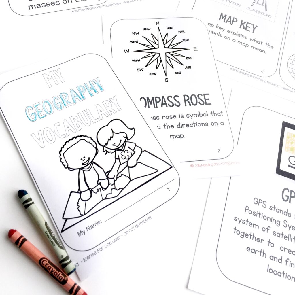
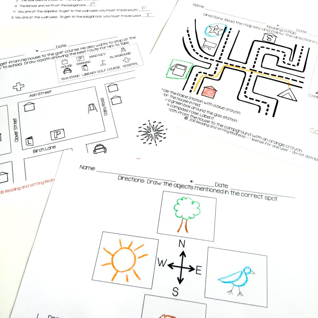
If you love these hands-on ideas but find yourself short on time to pull together daily independent geography and mapping activities, I’ve got you covered. To save you from spending your precious Sunday nights hunting down worksheets, vocabulary booklets and more, I put together a comprehensive 2nd Grade Map Skills & World Geography Resource. It is packed with 75 pages of no-prep activities, games, and projects designed specifically for grades 1 through 3 to make mapping fun and stress-free!
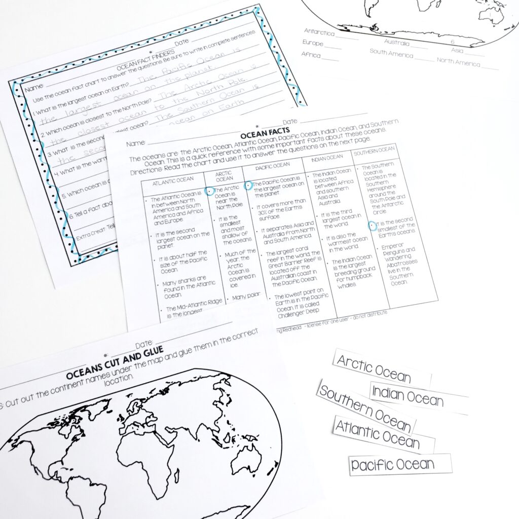
Here’s a peek at some activities included in the resource:
Benefits for Teachers:
- Zero Prep Required: Skip the late-night searching; everything is print-and-go so you can reclaim your evenings.
- Comprehensive Coverage: Includes 75 pages spanning essential geography skills, map keys, compass roses, and continents, oceans (and more) practice all in one spot.
- Easy to Differentiate: There are flexible format options. These work well across diverse classrooms (as well as special education settings).
- Highly Rated & Trusted: You can check out the dozens of 5-star teacher reviews praising its direct, fluff-free format that cuts straight to the core learning objectives.
Benefits for Students:
- Hands-On & Engaging: Students sometimes need some repeated practice with worksheets but it also includes interactive cut-and-glue pages, games and a fun take-home project.
- Real-World Connections: Helps students visualize how maps and globes relate to their actual world, communities, and travel.
- Builds Spatial Confidence: Step-by-step practice with cardinal directions, scales, and grids helps tricky concepts finally “click.”
- Reinforces Recall: Activities like games and puzzle-style tasks make memorizing continents and oceans feel like play rather than a chore.
Download the resource today and watch your students’ mapping skills and geographic confidence soar! You can also click on the cover or any of the sneak peek images below.
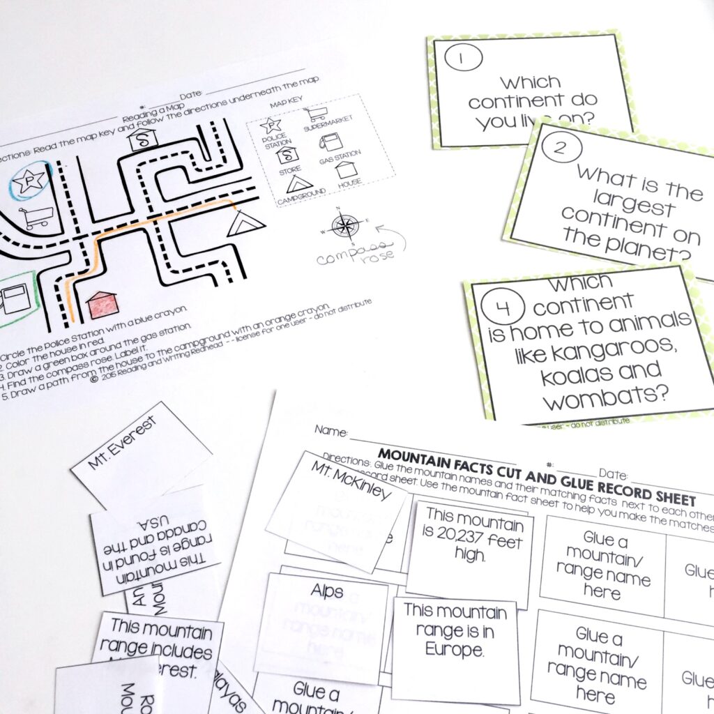
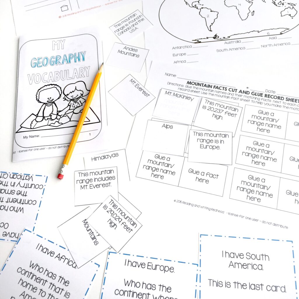
This resource has more than 60 reviews on TPT – which is great if you’re like me and don’t commit to anything without reading a few reviews. So you don’t have to look them up, here are a few:
Five Star Reviews
“My students loved and enjoyed using this resource. It was a great way to reinforce the content we are learning in class“.
“I’ve never been given a social studies curriculum and I really appreciate how easy it is to incorporate this resource in my class. Thanks!!”
“What an amazing resource. My kids really enjoyed it and the format was good for them. Straight to the point.”
Other blog posts you may want to check out:
- How Interactive Notebooks Help Students Retain Learning
- Closing the Gap: 10 Phonemic Awareness Skills That Lead to Reading Success
- The Top 6 Teacher Bags You Need This School Year
- The Classroom Lifesavers: 5 ELA Resources Your Students (and You!) Will Love
- ✔️ Teacher’s Ultimate 5 Time-saving Geography Tips
If you want to save this blog post for later, pin this Pinterest ready image below!
Good luck this week and remember: you got this!